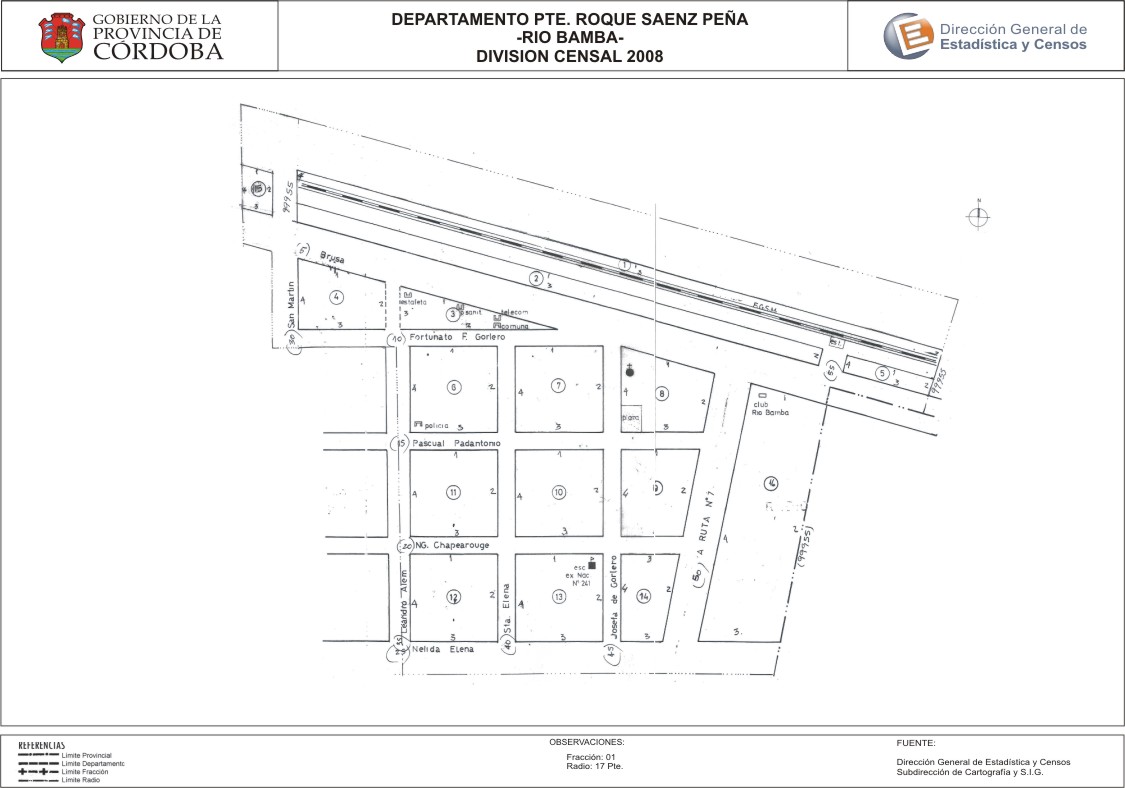
Mapa Río Bamba - División Censal - 2008
Aus der Zusammenfassung des Datensatzes
Encuentras aquí los mapas de los años 2008 y 2010 y la capa de ejidos del año 2010 de la cartografía base para tu localidad, en formatos shape, geojson, dbf, pdf y jpg.
Zusätzliche Informationen
| Feld | Wert |
|---|---|
| Zuletzt aktualisiert | 12. Juli 2017 |
| Erstellt | 12. Juli 2017 |
| Format | JPEG |
| Lizenz | Creative Commons Attribution |
| created | vor über 7 Jahren |
| format | JPEG |
| has views | True |
| id | 1d8b2a70-f57a-40c1-b938-1519fb0b665f |
| last modified | vor über 7 Jahren |
| on same domain | True |
| package id | 9a676409-37c4-49c9-b683-04d7c6fb7c5e |
| position | 2 |
| revision id | a3c40be6-8760-4774-9820-7663eba0b9e3 |
| state | active |
| url type | upload |