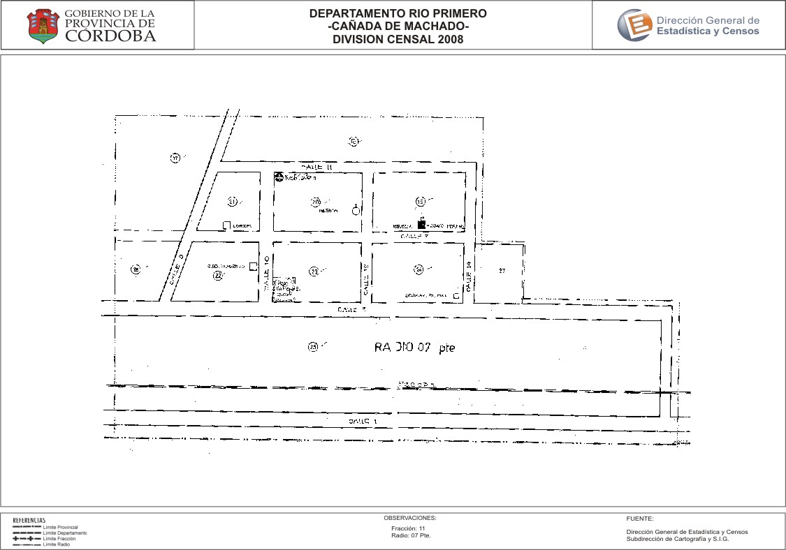
Mapa Cañada de Machado - División Censal - 2008
Dataset description:
Encuentras aquí los mapas y las capas de la cartografía base para tu localidad, pertenecientes a los años 2008 y 2010 en formatos shape, pdf y jpg - Las capas disponibles son...
Source: Localidad Cañada de Machado - Mapas y Capas
Additional Information
| Field | Value |
|---|---|
| Data last updated | July 27, 2017 |
| Metadata last updated | June 16, 2026 |
| Created | July 27, 2017 |
| Format | JPEG |
| License | Creative Commons Attribution |
| Datastore active | False |
| Datastore contains all records of source file | False |
| Has views | True |
| Id | 874d144d-2a92-4fee-b134-07745646ed12 |
| Package id | 91d219c5-1516-45c2-bdc9-c4e98ab19456 |
| Position | 2 |
| State | active |
| Tracking summary | {'total': 0, 'recent': 0} |
| Url type | upload |