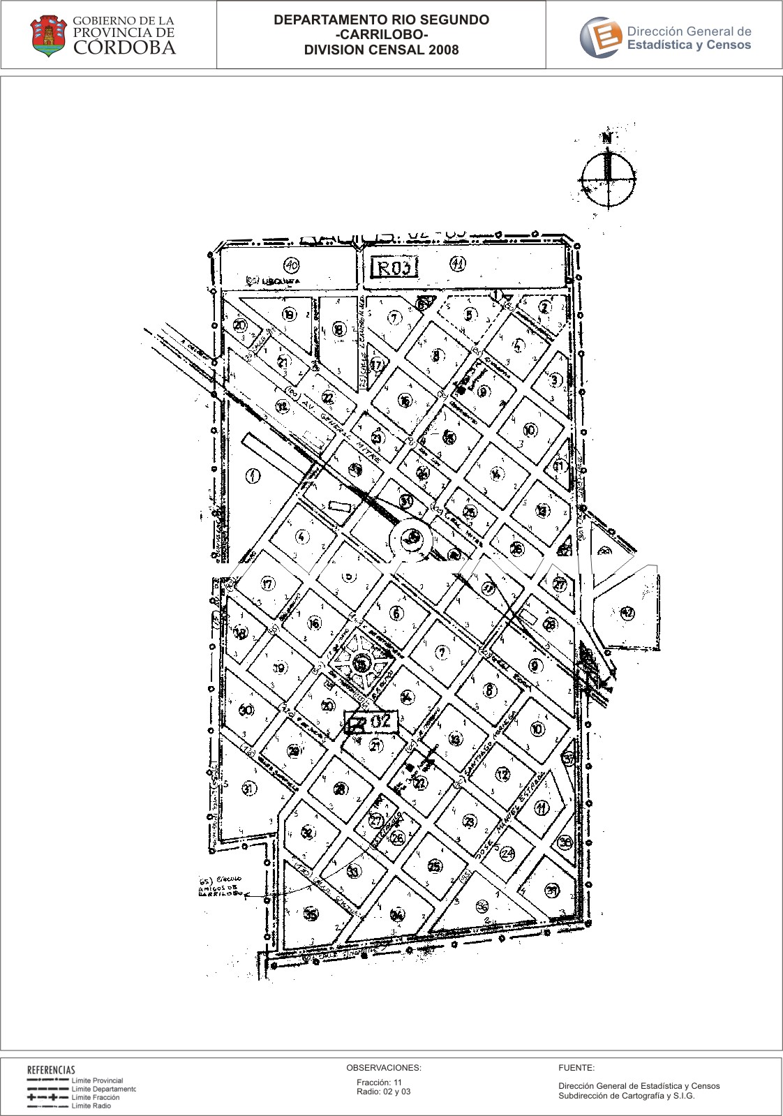
Mapa Carrilobo - División Censal - 2008
Dataset description:
Encuentras aquí los mapas y las capas de la cartografía base para tu localidad, pertenecientes a los años 2008 y 2010 en formatos shape, pdf y jpg - Las capas disponibles son...
Source: Localidad Carrilobo - Mapas y Capas
Additional Information
| Field | Value |
|---|---|
| Data last updated | July 28, 2017 |
| Metadata last updated | June 16, 2026 |
| Created | July 28, 2017 |
| Format | JPEG |
| License | Creative Commons Attribution |
| Datastore active | False |
| Datastore contains all records of source file | False |
| Has views | True |
| Id | a9d9fb56-993d-427e-b375-4832c08b1aaf |
| Package id | 988e627c-dbcd-4d18-b67f-b0cb794c60ca |
| Position | 2 |
| State | active |
| Tracking summary | {'total': 0, 'recent': 0} |
| Url type | upload |