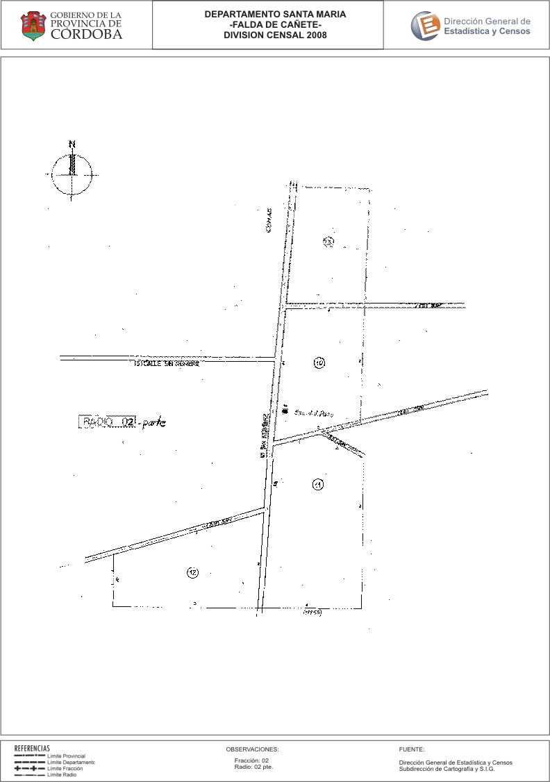
Mapa Falda del Cañete - División Censal - 2008
Dataset description:
Encuentras aquí los mapas de la cartografía base para tu localidad, pertenecientes a los años 2008 y 2010 en formatos pdf y jpg.
Source: Localidad Falda del Cañete - Mapas
Additional Information
| Field | Value |
|---|---|
| Data last updated | July 25, 2017 |
| Metadata last updated | June 16, 2026 |
| Created | July 25, 2017 |
| Format | JPEG |
| License | Creative Commons Attribution |
| Datastore active | False |
| Datastore contains all records of source file | False |
| Has views | True |
| Id | fa34ad58-7790-446b-99b2-5c75cf115ef3 |
| Package id | 11d88ce8-cbb3-496a-857e-1b77ffd9145c |
| Position | 2 |
| State | active |
| Tracking summary | {'total': 0, 'recent': 0} |
| Url type | upload |