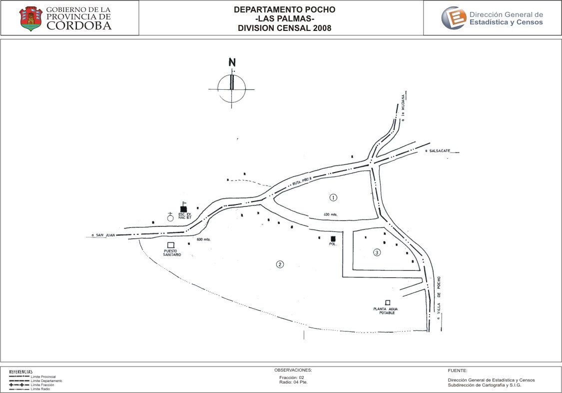
Mapa Las Palmas - División Censal - 2008
Dataset description:
Encuentras aquí los mapas de los años 2008 y 2010 y la capa de ejidos del año 2010 de la cartografía base para tu localidad, en formatos shape, geojson, dbf, pdf y jpg.
Source: Localidad Las Palmas - Mapas y Capa
Additional Information
| Field | Value |
|---|---|
| Data last updated | July 12, 2017 |
| Metadata last updated | June 16, 2026 |
| Created | July 12, 2017 |
| Format | JPEG |
| License | Creative Commons Attribution |
| Datastore active | False |
| Datastore contains all records of source file | False |
| Has views | True |
| Id | 64b12399-9527-4151-972d-0afa6ff2f62a |
| Package id | b0015f55-9464-4f0d-b2ff-67e61ea5bc69 |
| Position | 2 |
| State | active |
| Tracking summary | {'total': 0, 'recent': 0} |
| Url type | upload |