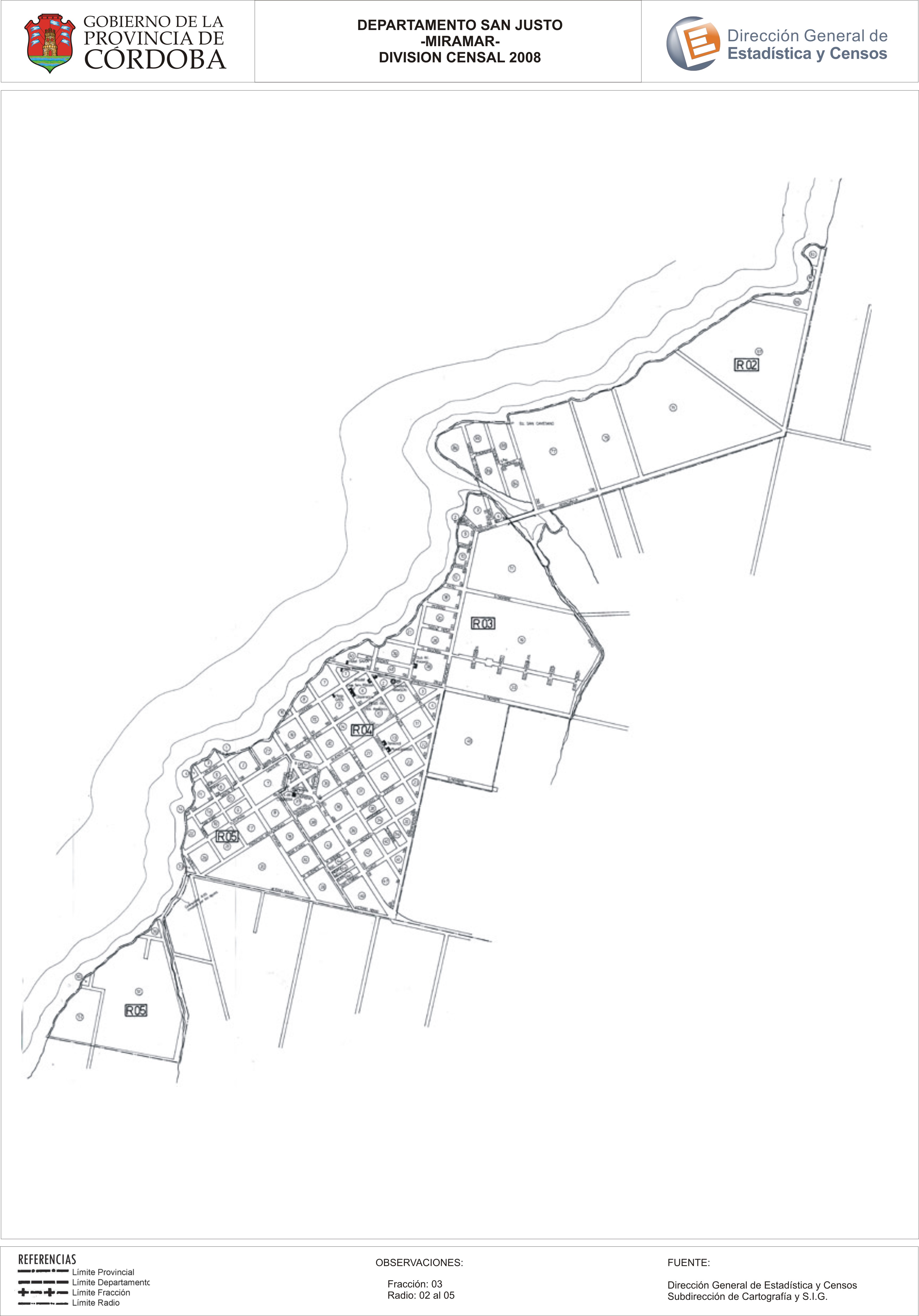
Mapa Miramar - División Censal - 2008
Dataset description:
Encuentras aquí los mapas de los años 2008, 2010 y las capas de la cartografía base para tu localidad, pertenecientes al año 2010 en formatos shape, geojson, dbf pdf y jpg - Las capas...
Source: Localidad Miramar - Mapas y Capas
Additional Information
| Field | Value |
|---|---|
| Data last updated | July 28, 2017 |
| Metadata last updated | June 16, 2026 |
| Created | July 28, 2017 |
| Format | JPEG |
| License | Creative Commons Attribution |
| Datastore active | False |
| Datastore contains all records of source file | False |
| Has views | True |
| Id | 0b0d92b8-3e59-4034-a514-531a4bd7e84a |
| Package id | 68926fa5-182d-4c20-a89a-d2a7ff130ae1 |
| Position | 2 |
| State | active |
| Tracking summary | {'total': 0, 'recent': 0} |
| Url type | upload |