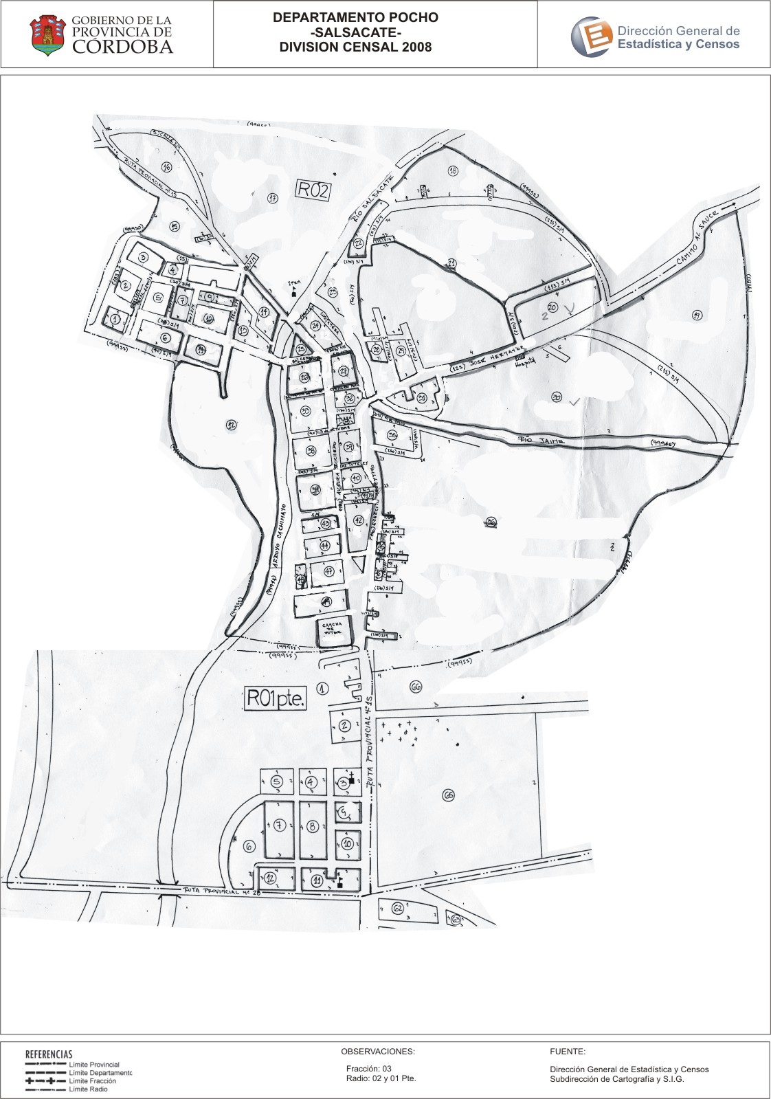
Mapa Salsacate - División Censal - 2008
Dataset description:
Encuentras aquí los mapas de los años 2008 y 2010 y las capas del año 2010 de la cartografía base para tu localidad, en formatos shape, geojson, dbf, pdf y jpg - Las capas disponibles son...
Source: Localidad Salsacate - Mapas y Capas
Additional Information
| Field | Value |
|---|---|
| Data last updated | July 12, 2017 |
| Metadata last updated | June 16, 2026 |
| Created | July 12, 2017 |
| Format | JPEG |
| License | Creative Commons Attribution |
| Datastore active | False |
| Datastore contains all records of source file | False |
| Has views | True |
| Id | 8a0fbb07-be01-4466-8da8-41c31c80c473 |
| Package id | d0deb0be-a160-45bc-acf2-cecef2791f77 |
| Position | 2 |
| State | active |
| Tracking summary | {'total': 0, 'recent': 0} |
| Url type | upload |