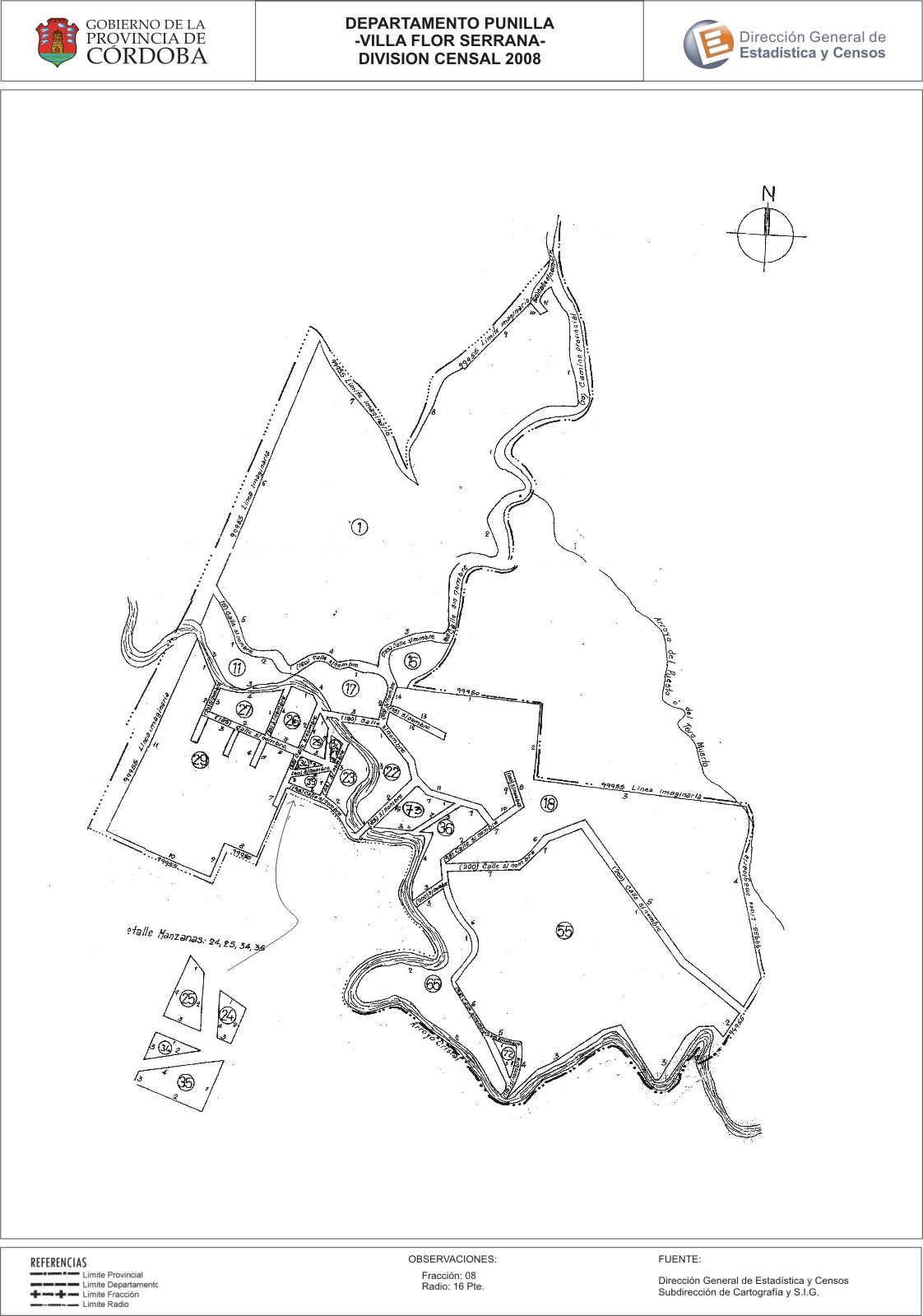
Mapa Villa Flor Serrana - División Censal - 2008
Dataset description:
Encuentras aquí los mapas de la cartografía base para tu localidad, pertenecientes a los años 2008 y 2010 en formato pdf y jpg.
Source: Localidad Villa Flor Serrana - Mapas
Additional Information
| Field | Value |
|---|---|
| Data last updated | July 13, 2017 |
| Metadata last updated | June 16, 2026 |
| Created | July 13, 2017 |
| Format | JPEG |
| License | Creative Commons Attribution |
| Datastore active | False |
| Datastore contains all records of source file | False |
| Has views | True |
| Id | 0f876e34-d694-42f7-88fa-a98e829b0b3c |
| Package id | a4213667-039a-4889-ab04-f5153c0df817 |
| Position | 2 |
| State | active |
| Tracking summary | {'total': 0, 'recent': 0} |
| Url type | upload |