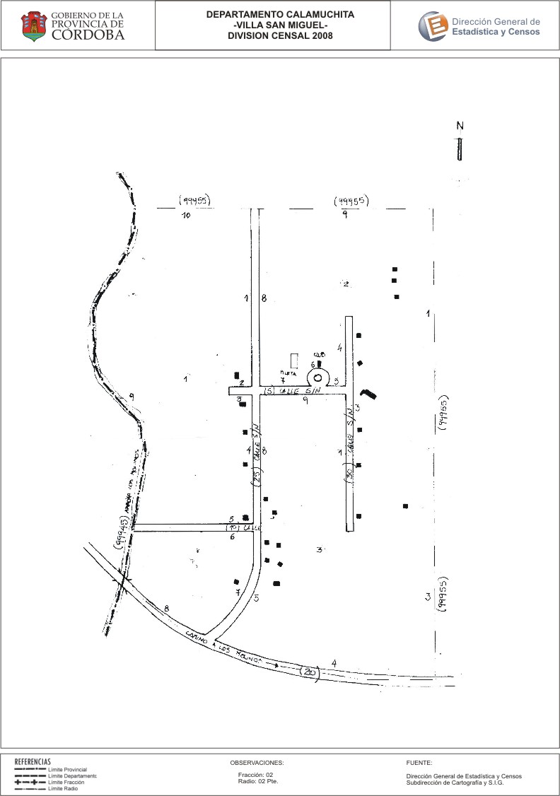
Mapa Villa San Miguel - División Censal - 2008
Dal riassunto del dataset
Encuentras aquí el mapa de la cartografía base para tu localidad, perteneciente al año 2008 en formatos pdf y jpg.
Sorgente: Localidad Villa San Miguel - Mapas
Informazioni supplementari
| Campo | Valore |
|---|---|
| Ultimo aggiornamento | Giugno 23, 2017 |
| Creato | Giugno 23, 2017 |
| Formato | JPEG |
| Licenza | Creative Commons Attribution |
| created | più di 7 anni fa |
| format | JPEG |
| has views | True |
| id | 02c283ec-aa59-43be-befb-c84372af9aa0 |
| last modified | più di 7 anni fa |
| on same domain | True |
| package id | a7ba7cb2-a483-4c93-b9ab-ee6bd818628f |
| revision id | 69fe0629-1ada-443b-95da-8c26d69e9d24 |
| state | active |
| url type | upload |