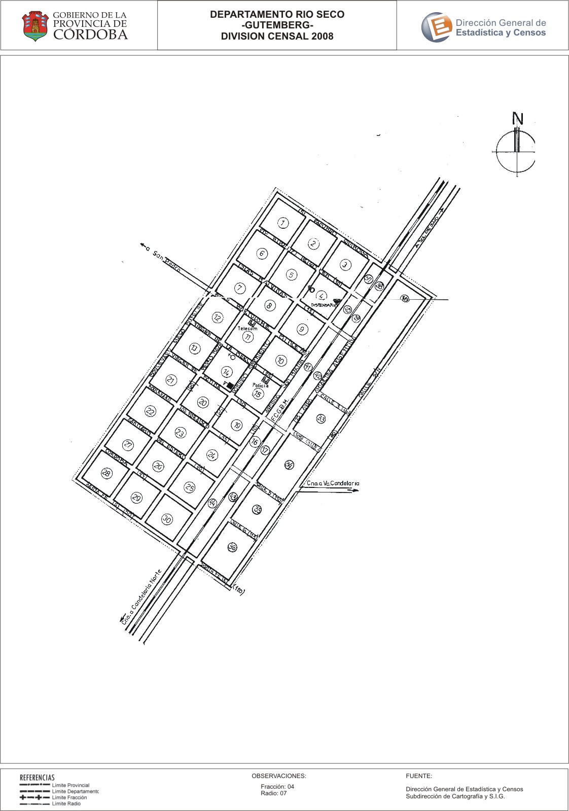
Mapa Gutemberg - División Censal - 2008
Dal riassunto del dataset
Encuentras aquí los mapas y las capas de la cartografía base para tu localidad, pertenecientes a los años 2008 y 2010 en formatos shape, pdf y jpg - Las capas disponibles son...
Sorgente: Localidad Gutemberg - Mapas y Capas
Informazioni supplementari
| Campo | Valore |
|---|---|
| Ultimo aggiornamento | Luglio 27, 2017 |
| Creato | Luglio 27, 2017 |
| Formato | JPEG |
| Licenza | Creative Commons Attribution |
| created | più di 7 anni fa |
| format | JPEG |
| has views | True |
| id | b78b8bdd-0412-4e66-a5d7-e97454e12489 |
| last modified | più di 7 anni fa |
| on same domain | True |
| package id | 92a10db5-1595-4044-b3da-82f12f96f7d0 |
| position | 2 |
| revision id | 70699530-03e3-4791-b0c8-e802271c6968 |
| state | active |
| url type | upload |