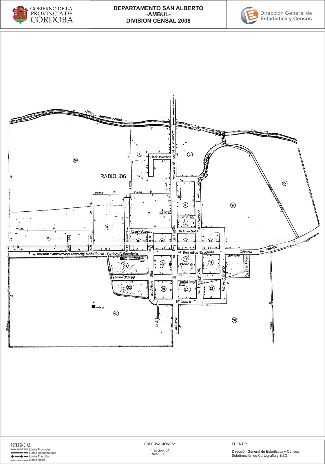
Mapa Ámbul - División Censal - 2008
Dal riassunto del dataset
Encuentras aquí los mapas de los años 2008 y 2010 y las capas del año 2010 de la cartografía base para tu localidad, en formatos shape, geojson, dbf, pdf y jpg - Las capas disponibles son...
Sorgente: Localidad Ámbul - Mapas y Capas
Informazioni supplementari
| Campo | Valore |
|---|---|
| Ultimo aggiornamento | Luglio 28, 2017 |
| Creato | Luglio 28, 2017 |
| Formato | JPEG |
| Licenza | Creative Commons Attribution |
| created | più di 7 anni fa |
| format | JPEG |
| has views | True |
| id | af8f8e7c-2a76-4230-a4df-d3a5b877bd5f |
| last modified | più di 7 anni fa |
| on same domain | True |
| package id | bafed586-7518-4653-9894-9ed766d84724 |
| position | 2 |
| revision id | ff2ea7a5-4e6f-4d39-8d98-4cbcd90914e6 |
| state | active |
| url type | upload |