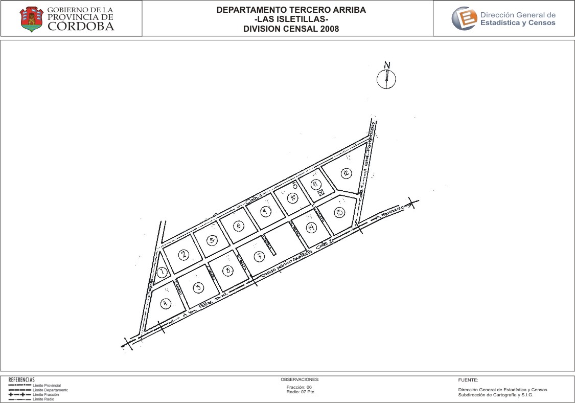
Mapa Las Isletillas - División Censal - 2008
Dal riassunto del dataset
Encuentras aquí los mapas de la cartografía base para tu localidad, pertenecientes a los años 2008 y 2010 en formatos pdf y jpg.
Sorgente: Localidad Las Isletillas - Mapas
Informazioni supplementari
| Campo | Valore |
|---|---|
| Ultimo aggiornamento | Luglio 26, 2017 |
| Creato | Luglio 26, 2017 |
| Formato | JPEG |
| Licenza | Creative Commons Attribution |
| created | più di 7 anni fa |
| format | JPEG |
| has views | True |
| id | 664e446b-9b3d-4cc7-a8db-a93b8c60b825 |
| last modified | più di 7 anni fa |
| on same domain | True |
| package id | c0eee07f-1b07-4891-9ead-9c3741794070 |
| position | 2 |
| revision id | 0a3fbcf2-6e20-4521-8c35-831de975076d |
| state | active |
| url type | upload |