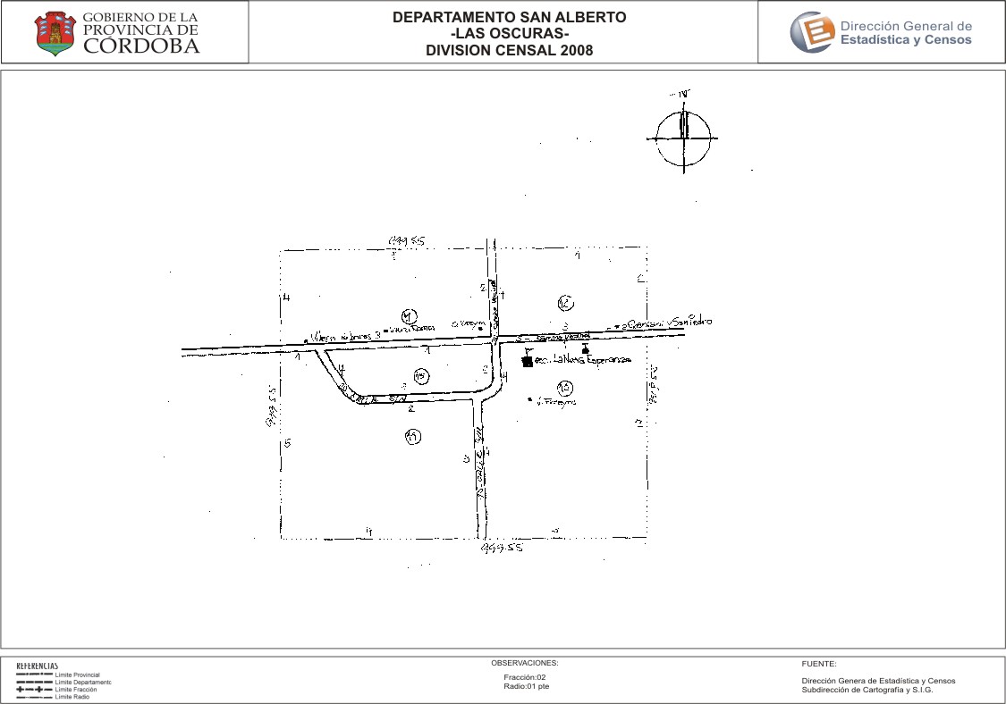
Mapa Las Oscuras - División Censal - 2008
Dal riassunto del dataset
Encuentras aquí los mapas de la cartografía base para tu localidad, pertenecientes a los años 2008 y 2010 en formatos pdf y jpg.
Sorgente: Localidad Las Oscuras - Mapas
Informazioni supplementari
| Campo | Valore |
|---|---|
| Ultimo aggiornamento | Luglio 28, 2017 |
| Creato | Luglio 28, 2017 |
| Formato | JPEG |
| Licenza | Creative Commons Attribution |
| created | più di 7 anni fa |
| format | JPEG |
| has views | True |
| id | f8589123-7e4f-4728-bc9b-c19b3a6ee4c0 |
| last modified | più di 7 anni fa |
| on same domain | True |
| package id | 5c966018-523e-4baa-a6a8-74110b96b401 |
| position | 2 |
| revision id | dc330436-5349-4678-a54d-48260b0cf816 |
| state | active |
| url type | upload |