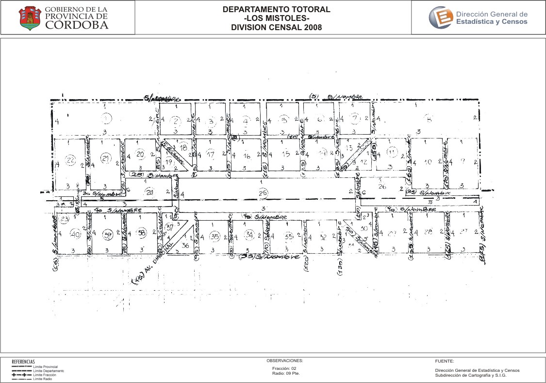
Mapa Los Mistoles - División Censal - 2008
Dal riassunto del dataset
Encuentras aquí los mapas de la cartografía base para tu localidad, pertenecientes a los años 2008 y 2010 en formatos pdf y jpg.
Sorgente: Localidad Los Mistoles - Mapas
Informazioni supplementari
| Campo | Valore |
|---|---|
| Ultimo aggiornamento | Luglio 27, 2017 |
| Creato | Luglio 27, 2017 |
| Formato | JPEG |
| Licenza | Creative Commons Attribution |
| created | più di 7 anni fa |
| format | JPEG |
| has views | True |
| id | 108a631c-5491-45e3-862f-f31337eee5ab |
| last modified | più di 7 anni fa |
| on same domain | True |
| package id | a89fc39e-1da4-4d91-9100-5f35ed350f5e |
| position | 2 |
| revision id | 01224d1e-b566-4ea9-a399-a67c2b17be5d |
| state | active |
| url type | upload |