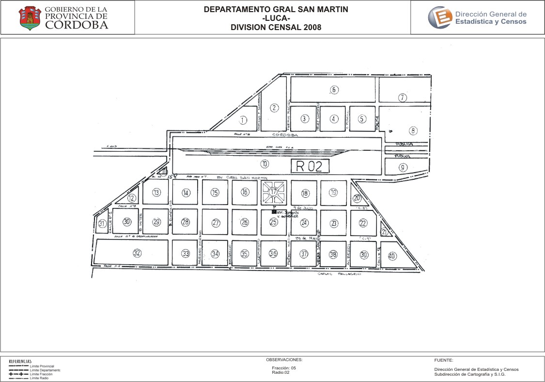
Mapa Luca - División Censal - 2008
Dal riassunto del dataset
Encuentras aquí los mapas de los años 2008 y 2010 y las capas del año 2010 de la cartografía base para tu localidad, en formatos shape, geojson, dbf, pdf y jpg - Las capas disponibles son...
Sorgente: Localidad Luca - Mapas y Capas
Informazioni supplementari
| Campo | Valore |
|---|---|
| Ultimo aggiornamento | Luglio 7, 2017 |
| Creato | Luglio 7, 2017 |
| Formato | JPEG |
| Licenza | Creative Commons Attribution |
| created | più di 7 anni fa |
| format | JPEG |
| has views | True |
| id | 2678ebc3-6bfe-4bb6-8d95-fefbca70f8b1 |
| last modified | più di 7 anni fa |
| on same domain | True |
| package id | 54ce440f-584e-4ac6-8fa1-9757b8324be7 |
| position | 2 |
| revision id | 1b56587d-2ff5-4286-be3a-abf64f762985 |
| state | active |
| url type | upload |