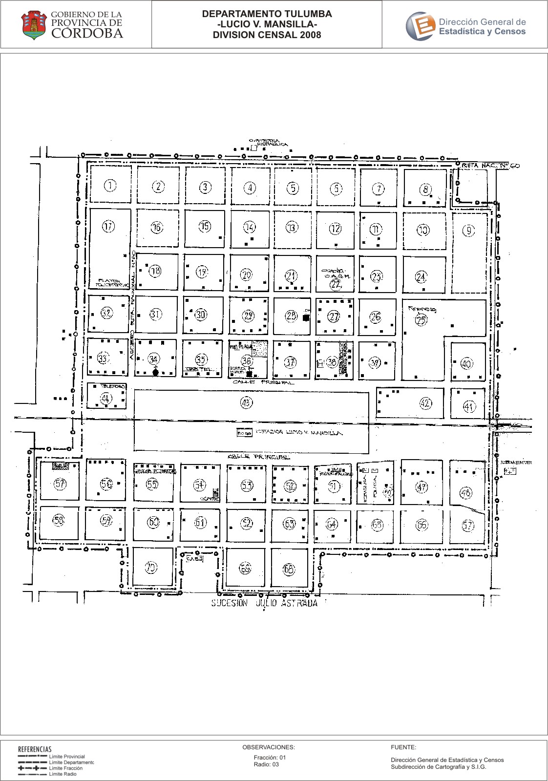
Mapa Lucio V. Mansilla - División Censal - 2008
Dal riassunto del dataset
Encuentras aquí los mapas de la cartografía base para tu localidad, pertenecientes a los años 2008 y 2010 en formatos pdf y jpg.
Sorgente: Localidad Lucio V. Mansilla - Mapas
Informazioni supplementari
| Campo | Valore |
|---|---|
| Ultimo aggiornamento | Luglio 27, 2017 |
| Creato | Luglio 27, 2017 |
| Formato | JPEG |
| Licenza | Creative Commons Attribution |
| created | più di 7 anni fa |
| format | JPEG |
| has views | True |
| id | 6f6271fa-220b-45c9-9242-0588435c5aed |
| last modified | più di 7 anni fa |
| on same domain | True |
| package id | 0379c019-72bb-4b99-b56a-3e3dbfb61812 |
| position | 2 |
| revision id | c3f4a216-4f23-49fb-87f5-02586f18b101 |
| state | active |
| url type | upload |