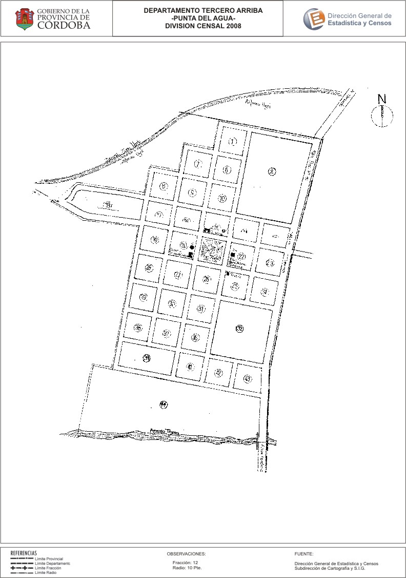
Mapa Punta del Agua - División Censal - 2008
Dal riassunto del dataset
Encuentras aquí los mapas de la cartografía base para tu localidad, pertenecientes a los años 2008 y 2010 en formatos pdf y jpg.
Sorgente: Localidad Punta del Agua - Mapas
Informazioni supplementari
| Campo | Valore |
|---|---|
| Ultimo aggiornamento | Luglio 26, 2017 |
| Creato | Luglio 26, 2017 |
| Formato | JPEG |
| Licenza | Creative Commons Attribution |
| created | più di 7 anni fa |
| format | JPEG |
| has views | True |
| id | 1135f381-9dde-42cc-a156-b169362802e2 |
| last modified | più di 7 anni fa |
| on same domain | True |
| package id | 980f254f-bf04-4131-9ee0-75218871f4af |
| position | 2 |
| revision id | 13ce24ae-8866-45f5-bb9f-ca67c1158c72 |
| state | active |
| url type | upload |