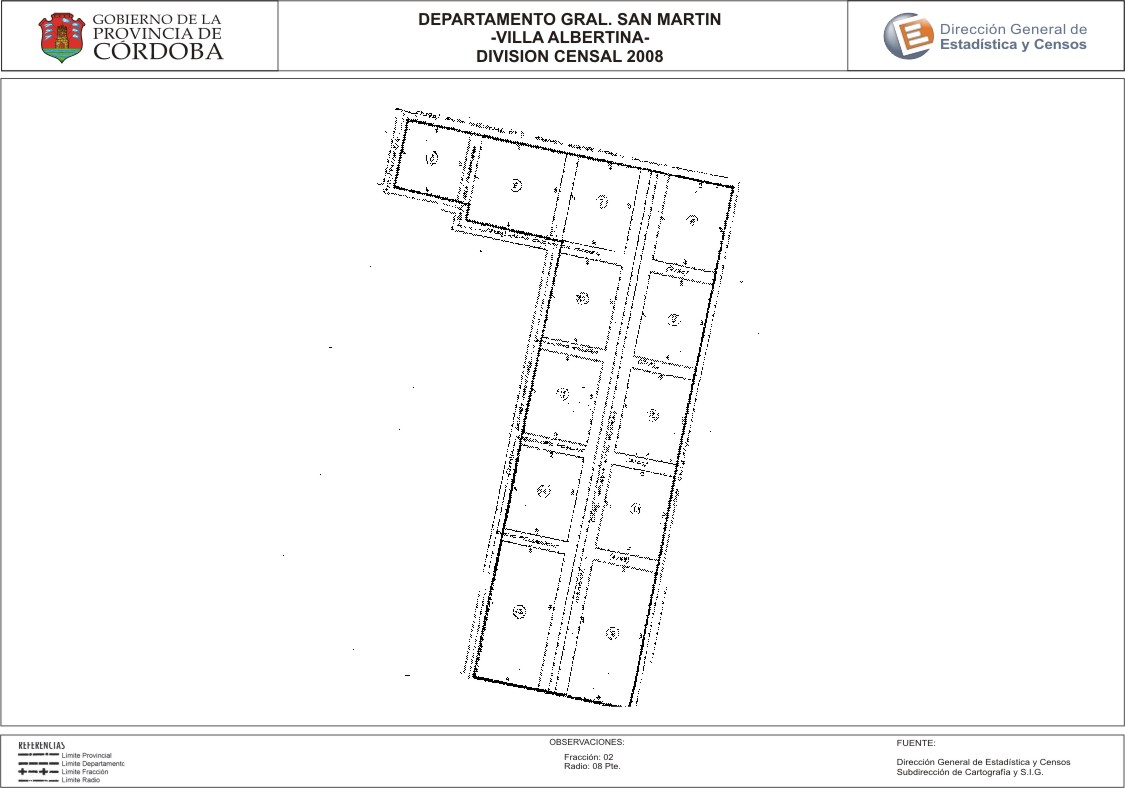
Mapa Villa Albertina - División Censal - 2008
Dal riassunto del dataset
Encuentras aquí los mapas de los años 2008 y 2010 y las capas del año 2010 de la cartografía base para tu localidad, en formatos shape, geojson, dbf, pdf y jpg - Las capas disponibles son...
Informazioni supplementari
| Campo | Valore |
|---|---|
| Ultimo aggiornamento | Luglio 5, 2017 |
| Creato | Luglio 5, 2017 |
| Formato | JPEG |
| Licenza | Creative Commons Attribution |
| created | più di 7 anni fa |
| format | JPEG |
| has views | True |
| id | 4a48fb93-2215-4335-8c50-94483168654a |
| last modified | più di 7 anni fa |
| on same domain | True |
| package id | b7d93e24-6817-4b2e-bfd0-3456fedbb07e |
| position | 2 |
| revision id | daea5f96-b293-441e-a5dc-a3fe2c5af6f2 |
| state | active |
| url type | upload |