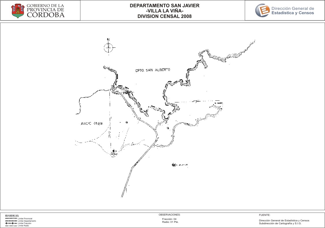
Mapa Villa La Viña - División Censal - 2008
Dal riassunto del dataset
Encuentras aquí los mapas de la cartografía base para tu localidad, pertenecientes a los años 2008 y 2010 en formatos pdf y jpg.
Sorgente: Localidad Villa La Viña - Mapas
Informazioni supplementari
| Campo | Valore |
|---|---|
| Ultimo aggiornamento | Luglio 28, 2017 |
| Creato | Luglio 28, 2017 |
| Formato | JPEG |
| Licenza | Creative Commons Attribution |
| created | più di 7 anni fa |
| format | JPEG |
| has views | True |
| id | 55837776-ee2f-4d22-b7e6-13163e01501d |
| last modified | più di 7 anni fa |
| on same domain | True |
| package id | d24482e6-eb66-4c40-849b-6598cbe40a7b |
| position | 2 |
| revision id | 6a1f1f0d-b28b-4142-b8b7-fb875edd14fb |
| state | active |
| url type | upload |