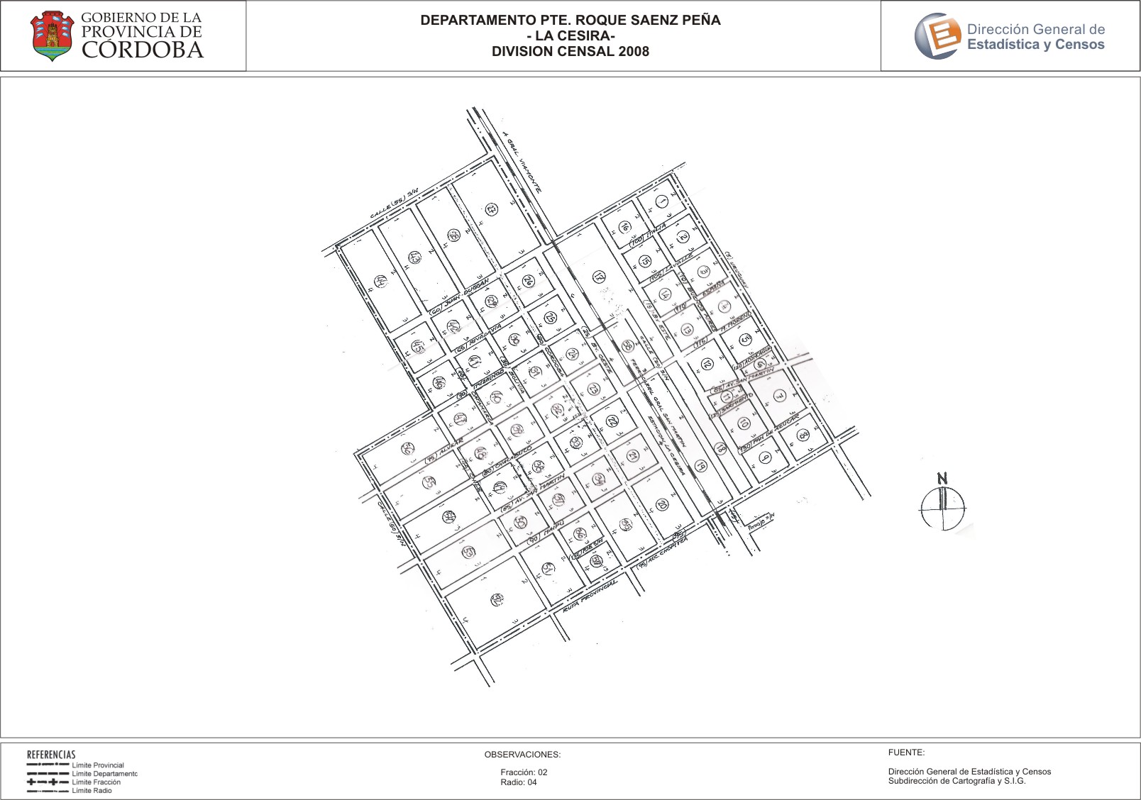
Mapa La Cesira - División Censal - 2008
Uit de dataset abstract
Encuentras aquí los mapas de los años 2008 y 2010 y la capa de ejidos del año 2010 de la cartografía base para tu localidad, en formatos shape, geojson, dbf, pdf y jpg.
Additionele informatie
| Veld | Waarde |
|---|---|
| Laatst gewijzigd | 12 juli, 2017 |
| Gecreëerd | 12 juli, 2017 |
| Formaat | JPEG |
| Licentie | Creative Commons Attribution |
| created | meer dan 7 jaren geleden |
| format | JPEG |
| has views | True |
| id | 1ad194fe-8806-4efd-9987-40a7e1cc1a60 |
| last modified | meer dan 7 jaren geleden |
| on same domain | True |
| package id | fc8fc093-3515-4e42-8b4f-b0adb22944bc |
| position | 2 |
| revision id | 15335117-27ff-486e-9f90-79c550b0ddfc |
| state | active |
| url type | upload |