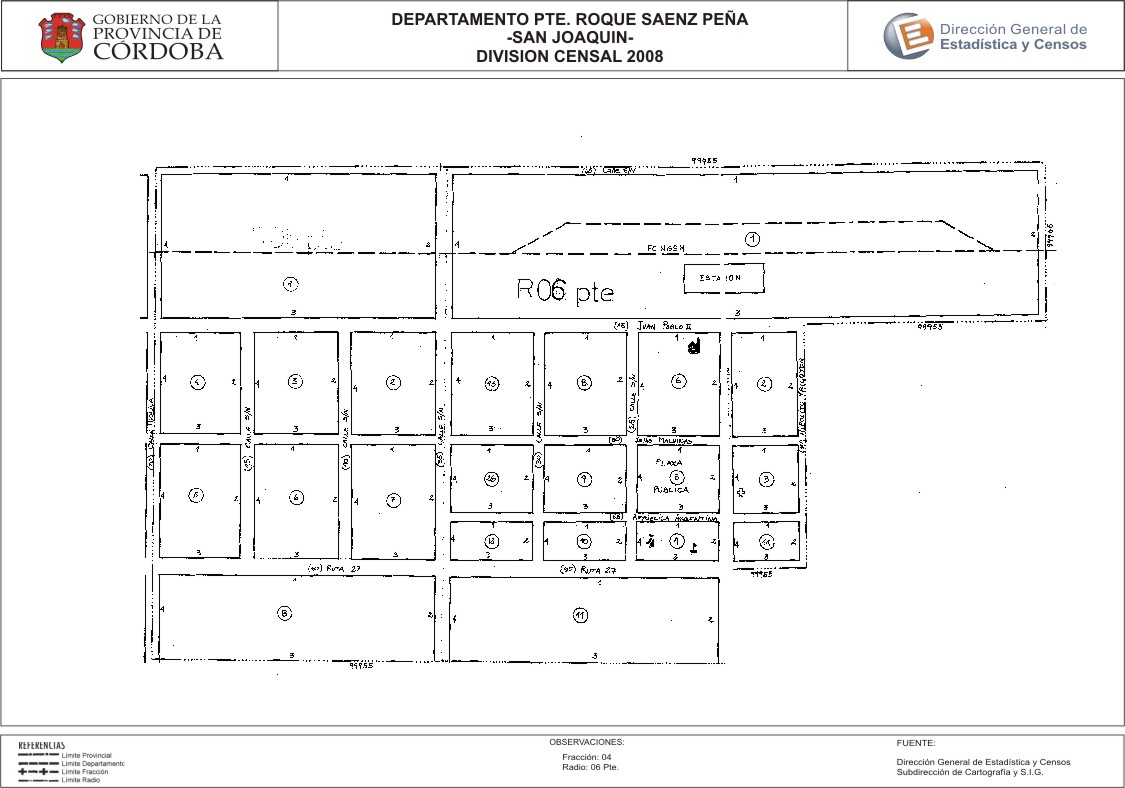
Mapa San Joaquín - División Censal - 2008
Uit de dataset abstract
Encuentras aquí los mapas de los años 2008 y 2010 y la capa de ejidos del año 2010 de la cartografía base para tu localidad, en formatos shape, geojson, dbf, pdf y jpg.
Additionele informatie
| Veld | Waarde |
|---|---|
| Laatst gewijzigd | 12 juli, 2017 |
| Gecreëerd | 12 juli, 2017 |
| Formaat | JPEG |
| Licentie | Creative Commons Attribution |
| created | meer dan 7 jaren geleden |
| format | JPEG |
| has views | True |
| id | 915a84f4-5cc0-4111-9d57-b61d9a51f3bb |
| last modified | meer dan 7 jaren geleden |
| on same domain | True |
| package id | 02362599-ee72-4ba7-98e9-e1fe30112412 |
| position | 2 |
| revision id | ed135dbf-181f-4887-9143-db6af6837f1f |
| state | active |
| url type | upload |