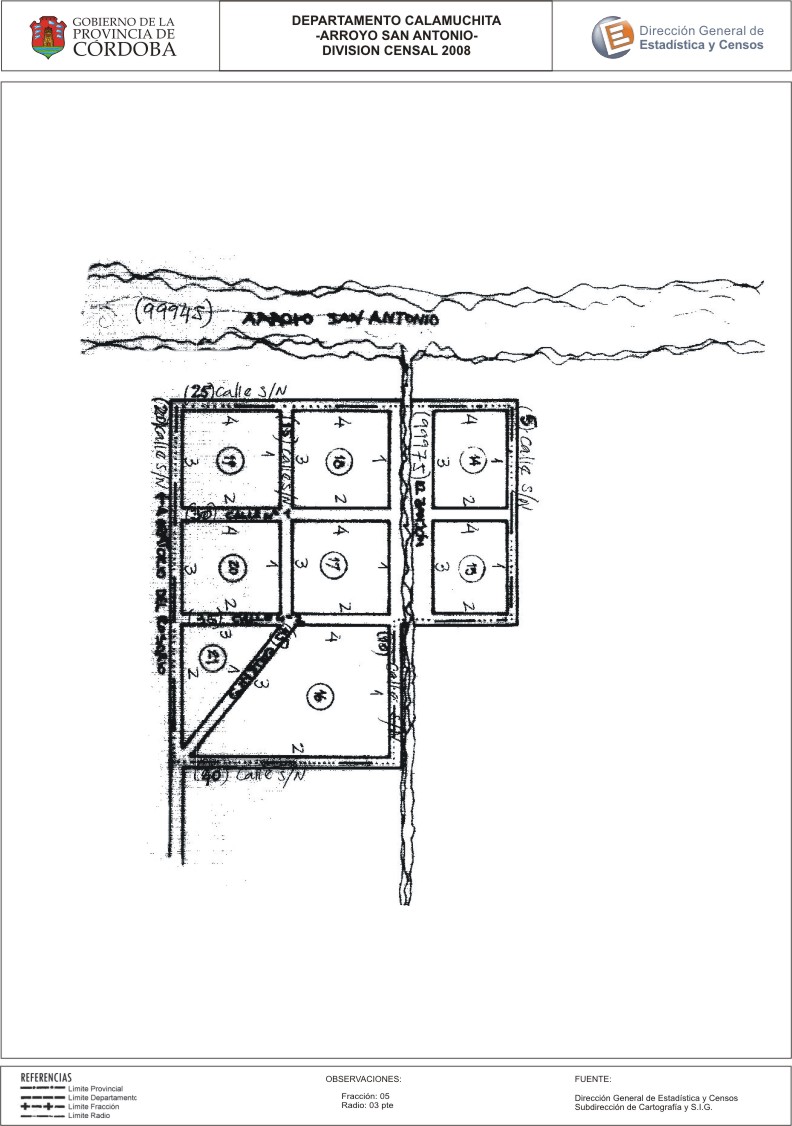
Mapa Arroyo San Antonio - División Censal - 2008
Aus der Zusammenfassung des Datensatzes
Encuentras aquí los mapas de la cartografía base para tu localidad, pertenecientes a los años 2008 y 2010 en formatos pdf y jpg.
Zusätzliche Informationen
| Feld | Wert |
|---|---|
| Zuletzt aktualisiert | 3. Juli 2017 |
| Erstellt | 3. Juli 2017 |
| Format | JPEG |
| Lizenz | Creative Commons Attribution |
| created | vor über 7 Jahren |
| format | JPEG |
| has views | True |
| id | 291c1963-703e-45b4-9ee5-3bb66eff351d |
| last modified | vor über 7 Jahren |
| on same domain | True |
| package id | 9488a94e-cc21-45a3-9341-1fa6a9809f72 |
| position | 2 |
| revision id | f5222296-3988-4c61-81cd-f086dca92a2a |
| state | active |
| url type | upload |