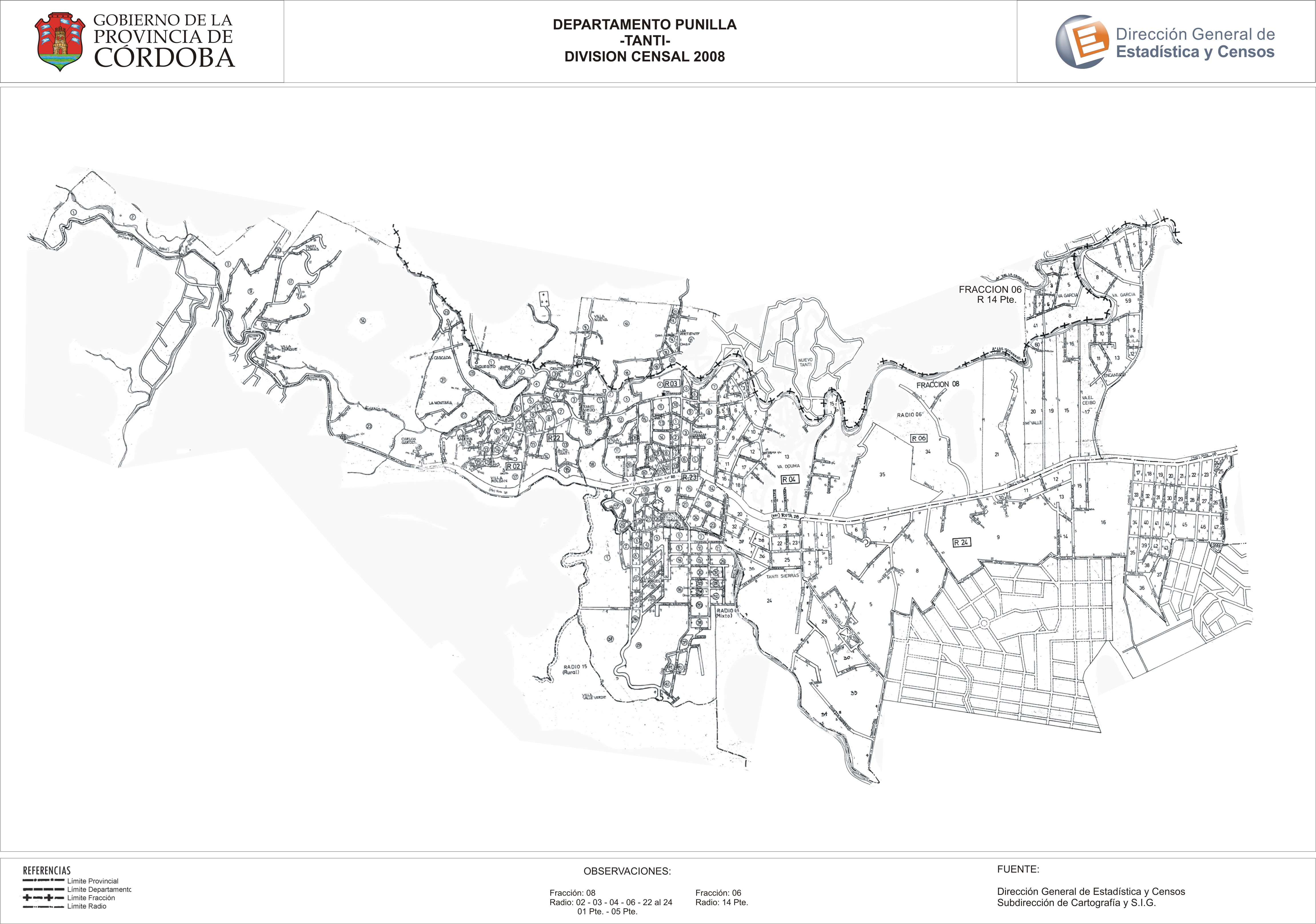
Mapa Tanti - División Censal - 2008
Aus der Zusammenfassung des Datensatzes
Encuentras aquí los mapas de los años 2008 y 2010 y las capas del año 2010 de la cartografía base para tu localidad, en formatos shape, geojson, dbf, pdf y jpg - Las capas disponibles son...
Quelle: Localidad Tanti - Mapas y Capas
Zusätzliche Informationen
| Feld | Wert |
|---|---|
| Zuletzt aktualisiert | 13. Juli 2017 |
| Erstellt | 13. Juli 2017 |
| Format | JPEG |
| Lizenz | Creative Commons Attribution |
| created | vor über 7 Jahren |
| format | JPEG |
| has views | True |
| id | 24662dcc-90f6-4f9c-8cf3-b351fec0a3f5 |
| last modified | vor über 7 Jahren |
| on same domain | True |
| package id | 35af6770-cb6e-44b4-8c35-407f40b86a46 |
| position | 2 |
| revision id | 3de90cf4-66ed-40ab-8d2d-64657133015f |
| state | active |
| url type | upload |