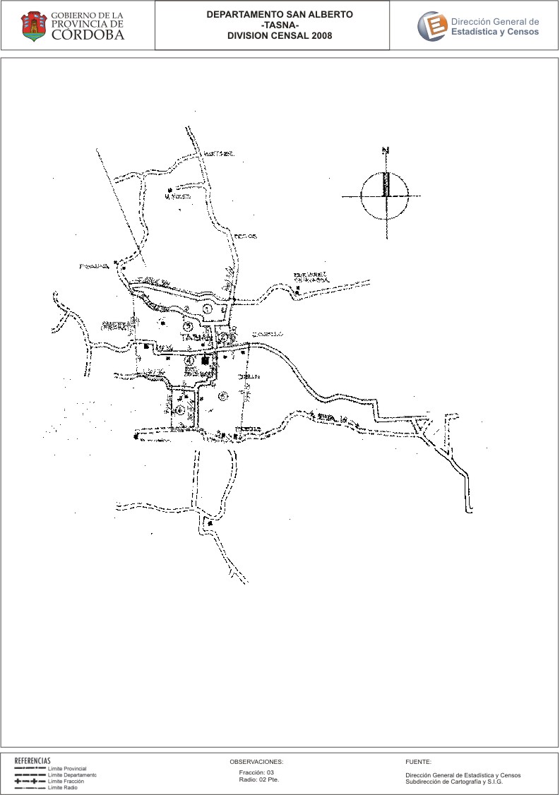
Mapa Tasma - División Censal - 2008
Aus der Zusammenfassung des Datensatzes
Encuentras aquí los mapas y las capas de la cartografía base para tu localidad, pertenecientes a los años 2008 y 2010 en formatos excel, pdf y jpg.
Quelle: Localidad Tasma - Mapas
Zusätzliche Informationen
| Feld | Wert |
|---|---|
| Zuletzt aktualisiert | 28. Juli 2017 |
| Erstellt | 28. Juli 2017 |
| Format | JPEG |
| Lizenz | Creative Commons Attribution |
| created | vor über 7 Jahren |
| format | JPEG |
| has views | True |
| id | 9f4cf602-313d-47ea-8e1d-89d36e9e5afd |
| last modified | vor über 7 Jahren |
| on same domain | True |
| package id | ab9e779a-8ee1-47d5-bba6-cdb9c9522314 |
| position | 2 |
| revision id | 0ef9cbc4-625d-45b7-a42c-d7960810dd7f |
| state | active |
| url type | upload |