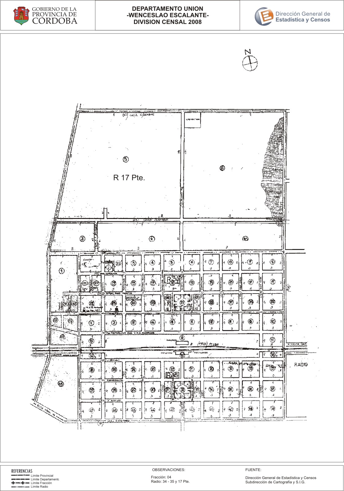
Mapa Wenceslao Escalante - División Censal - 2008
Aus der Zusammenfassung des Datensatzes
Encuentras aquí los mapas de la cartografía base para tu localidad, pertenecientes a los años 2008 y 2010 en formatos pdf y jpg.
Zusätzliche Informationen
| Feld | Wert |
|---|---|
| Zuletzt aktualisiert | 27. Juli 2017 |
| Erstellt | 27. Juli 2017 |
| Format | JPEG |
| Lizenz | Creative Commons Attribution |
| created | vor über 7 Jahren |
| format | JPEG |
| has views | True |
| id | 1e9540f4-bb8d-431c-8b2c-c1374fea8fe8 |
| last modified | vor über 7 Jahren |
| on same domain | True |
| package id | 91ed8e6b-69d8-410f-ad36-7b36ed063b51 |
| position | 2 |
| revision id | eed2e83b-058c-44a1-a328-2e1fe8d13319 |
| state | active |
| url type | upload |