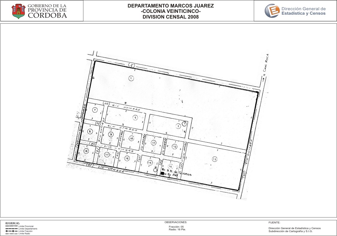
Mapa Colonia Veinticinco - División Censal - 2008
Dataset description:
Encuentras aquí los mapas de los años 2008 y 2010 y las capas del año 2010 de la cartografía base para tu localidad, en formatos shape, geojson, dbf, pdf y jpg - Las capas disponibles son...
Source: Localidad Colonia Veinticinco - Mapas y Capas
Additional Information
| Field | Value |
|---|---|
| Data last updated | July 12, 2017 |
| Metadata last updated | July 12, 2017 |
| Created | July 12, 2017 |
| Format | JPEG |
| License | Creative Commons Attribution |
| Datastore active | False |
| Datastore contains all records of source file | False |
| Has views | True |
| Id | 5ae12a6b-8c3f-40a3-95ea-f6029a81dfe5 |
| Package id | 387db339-7f27-4157-9375-2c54bd3063ac |
| Position | 2 |
| State | active |
| Tracking summary | {'total': 0, 'recent': 0} |
| Url type | upload |