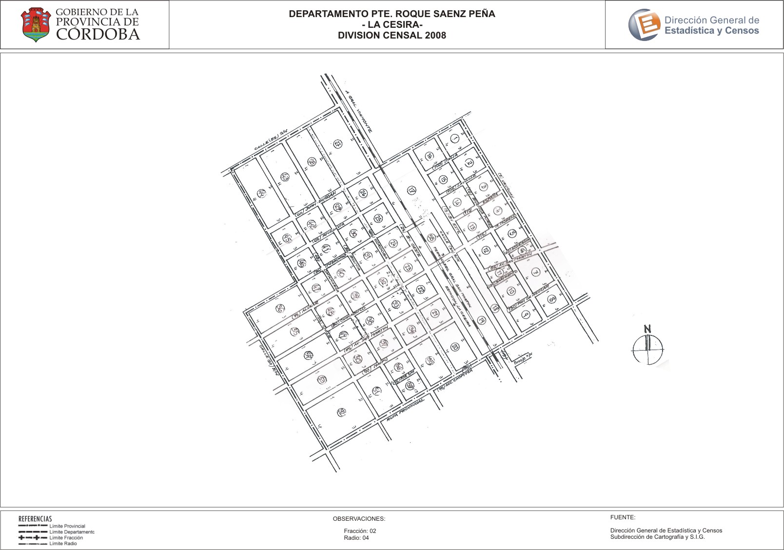
Mapa La Cesira - División Censal - 2008
Dataset description:
Encuentras aquí los mapas de los años 2008 y 2010 y la capa de ejidos del año 2010 de la cartografía base para tu localidad, en formatos shape, geojson, dbf, pdf y jpg.
Source: Localidad La Cesira - Mapas y Capa
Additional Information
| Field | Value |
|---|---|
| Data last updated | July 12, 2017 |
| Metadata last updated | June 16, 2026 |
| Created | July 12, 2017 |
| Format | JPEG |
| License | Creative Commons Attribution |
| Datastore active | False |
| Datastore contains all records of source file | False |
| Has views | True |
| Id | 1ad194fe-8806-4efd-9987-40a7e1cc1a60 |
| Package id | fc8fc093-3515-4e42-8b4f-b0adb22944bc |
| Position | 2 |
| State | active |
| Tracking summary | {'total': 0, 'recent': 0} |
| Url type | upload |