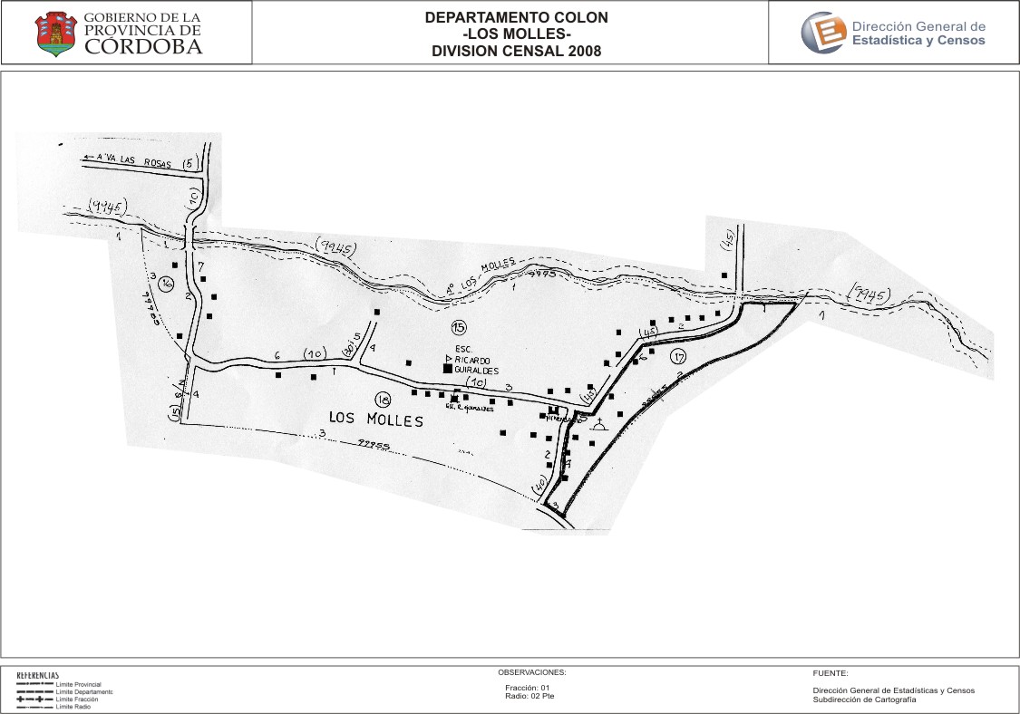
Mapa Los Molles - División Censal - 2008
Dataset description:
Encuentras aquí los mapas de la cartografía base para tu localidad, pertenecientes a los años 2008 y 2010 en formatos pdf y jpg.
Source: Localidad Los Molles - Mapas
Additional Information
| Field | Value |
|---|---|
| Data last updated | July 4, 2017 |
| Metadata last updated | July 4, 2017 |
| Created | July 4, 2017 |
| Format | JPEG |
| License | Creative Commons Attribution |
| Datastore active | False |
| Datastore contains all records of source file | False |
| Has views | True |
| Id | 59098a91-4222-4d6d-b7a9-c5053c8109ef |
| Package id | 02c1eda3-336b-43a2-8bb3-0d795e6d5eae |
| Position | 2 |
| State | active |
| Tracking summary | {'total': 0, 'recent': 0} |
| Url type | upload |