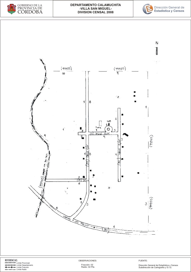
Mapa Villa San Miguel - División Censal - 2008
Dataset description:
Encuentras aquí el mapa de la cartografía base para tu localidad, perteneciente al año 2008 en formatos pdf y jpg.
Source: Localidad Villa San Miguel - Mapas
Additional Information
| Field | Value |
|---|---|
| Data last updated | June 23, 2017 |
| Metadata last updated | June 16, 2026 |
| Created | June 23, 2017 |
| Format | JPEG |
| License | Creative Commons Attribution |
| Datastore active | False |
| Datastore contains all records of source file | False |
| Has views | True |
| Id | 02c283ec-aa59-43be-befb-c84372af9aa0 |
| Package id | a7ba7cb2-a483-4c93-b9ab-ee6bd818628f |
| Position | 0 |
| State | active |
| Tracking summary | {'total': 0, 'recent': 0} |
| Url type | upload |