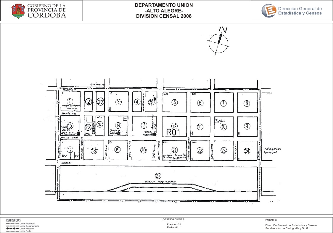
Mapa Alto Alegre - División Censal - 2008
Dal riassunto del dataset
Encuentras aquí los mapas de la cartografía base para tu localidad, pertenecientes a los años 2008 y 2010 en formatos pdf y jpg.
Sorgente: Localidad Alto Alegre - Mapas
Informazioni supplementari
| Campo | Valore |
|---|---|
| Ultimo aggiornamento | Luglio 27, 2017 |
| Creato | Luglio 27, 2017 |
| Formato | JPEG |
| Licenza | Creative Commons Attribution |
| created | più di 7 anni fa |
| format | JPEG |
| has views | True |
| id | 141dfaed-4401-495a-b1c4-35155f48ac33 |
| last modified | più di 7 anni fa |
| on same domain | True |
| package id | 5df2f501-1eb1-4f63-836d-3c389f16a259 |
| position | 2 |
| revision id | 37f185cd-96d2-4bd0-b9cc-29d8a3d07168 |
| state | active |
| url type | upload |