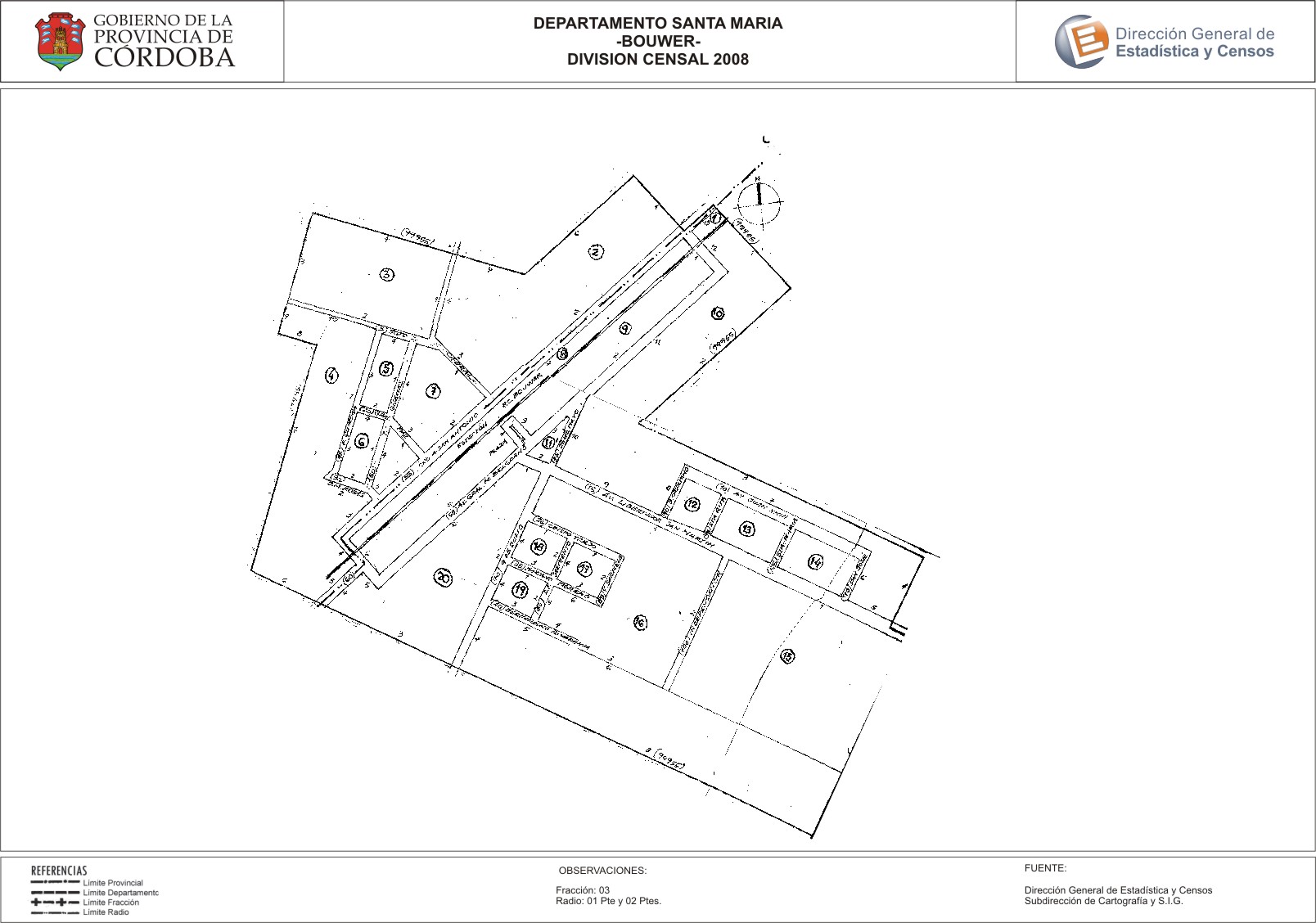
Mapa Bouwer - División Censal - 2008
Dal riassunto del dataset
Encuentras aquí los mapas de la cartografía base para tu localidad, pertenecientes a los años 2008 y 2010 en formatos pdf y jpg.
Sorgente: Localidad Bouwer - Mapas
Informazioni supplementari
| Campo | Valore |
|---|---|
| Ultimo aggiornamento | Luglio 25, 2017 |
| Creato | Luglio 25, 2017 |
| Formato | JPEG |
| Licenza | Creative Commons Attribution |
| created | più di 7 anni fa |
| format | JPEG |
| has views | True |
| id | e073b69e-6ae4-4598-b088-cef6e076f867 |
| last modified | più di 7 anni fa |
| on same domain | True |
| package id | 10b20a63-bb38-4914-a996-b7f90e13863a |
| position | 2 |
| revision id | f08c5c8b-e68b-4eae-96d3-29ec29fd23ca |
| state | active |
| url type | upload |