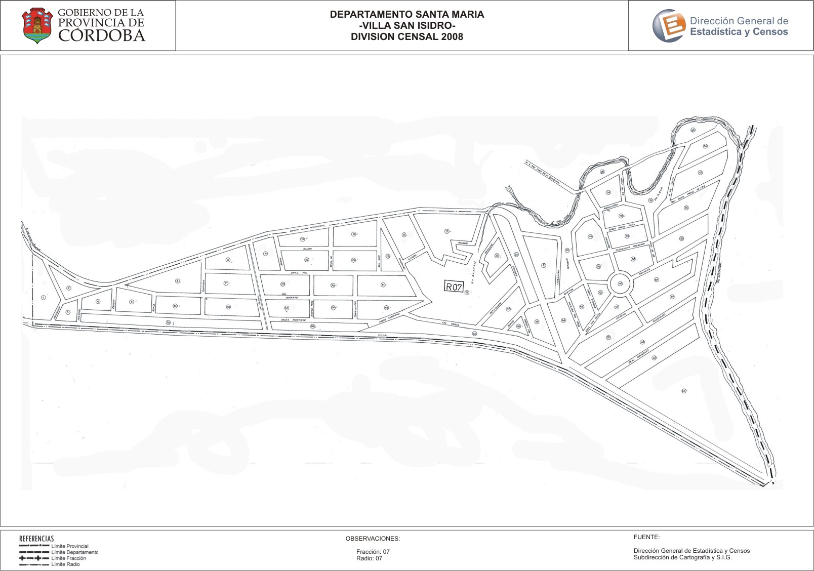
Mapa Villa San Isidro - División Censal - 2008
Dal riassunto del dataset
Encuentras aquí los mapas de la cartografía base para tu localidad, pertenecientes a los años 2008 y 2010 en formatos pdf y jpg.
Sorgente: Localidad Villa San Isidro - Mapas
Informazioni supplementari
| Campo | Valore |
|---|---|
| Ultimo aggiornamento | Luglio 21, 2017 |
| Creato | Luglio 21, 2017 |
| Formato | JPEG |
| Licenza | Creative Commons Attribution |
| created | più di 7 anni fa |
| format | JPEG |
| has views | True |
| id | 583abeff-4322-4abc-88c5-20acd5020a0e |
| last modified | più di 7 anni fa |
| on same domain | True |
| package id | 30569be1-b62d-4c6f-a3a3-52ae62f6f360 |
| position | 2 |
| revision id | 0c815171-2cf3-4791-a1e3-14391b8f2eaf |
| state | active |
| url type | upload |