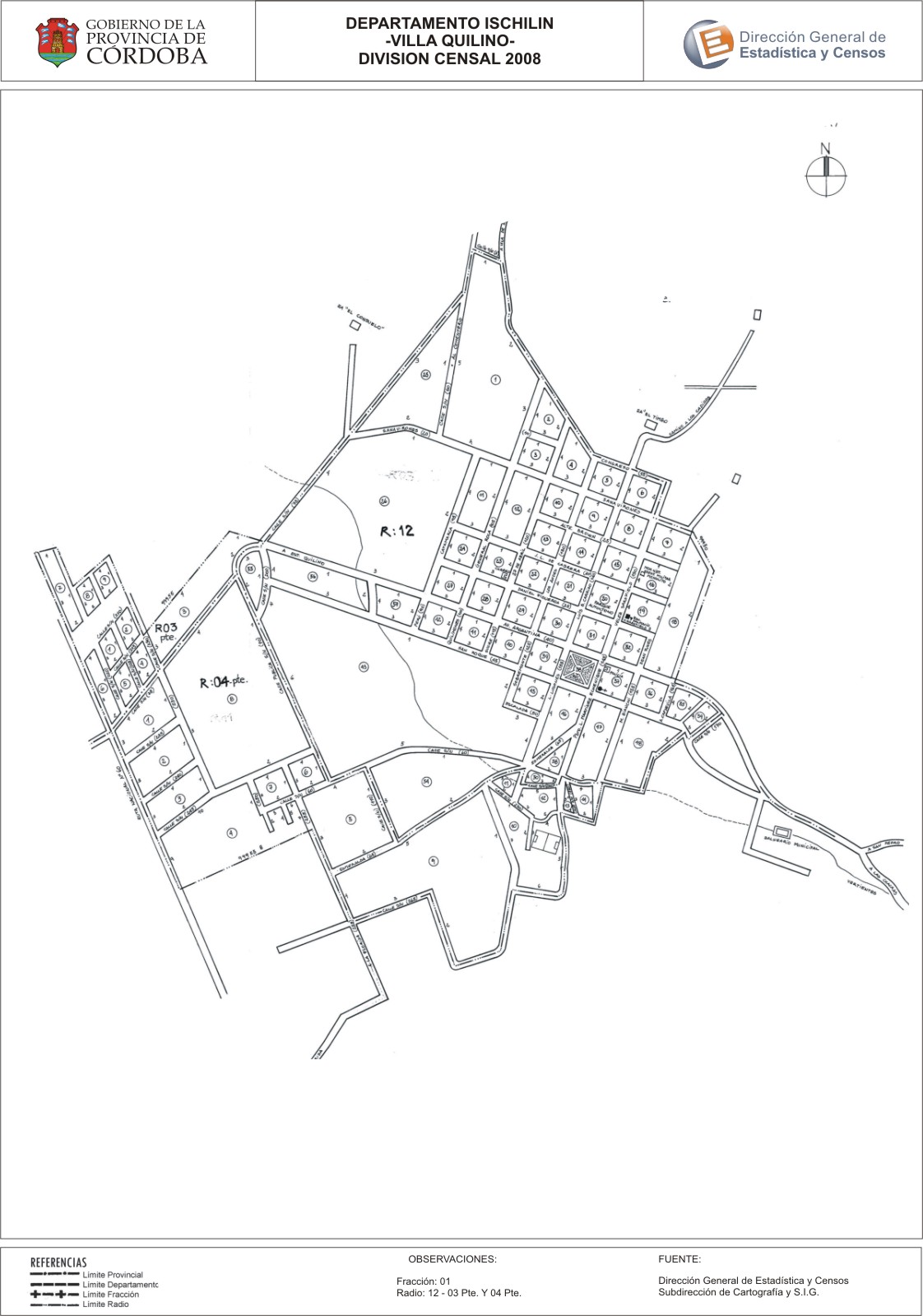
Mapa Villa Quilino - División Censal - 2008
Uit de dataset abstract
Encuentras aquí los mapas de los años 2008 y 2010 y las capas del año 2010 de la cartografía base para tu localidad, en formatos shape, geojson, dbf, pdf y jpg - Las capas disponibles son...
Additionele informatie
| Veld | Waarde |
|---|---|
| Laatst gewijzigd | 7 juli, 2017 |
| Gecreëerd | 7 juli, 2017 |
| Formaat | JPEG |
| Licentie | Creative Commons Attribution |
| created | meer dan 7 jaren geleden |
| format | JPEG |
| has views | True |
| id | fafcb73d-f4cd-48a3-9dd6-a6455b9eaa5f |
| last modified | meer dan 7 jaren geleden |
| on same domain | True |
| package id | 82dc13b1-c655-4c83-a1fb-72b2f87ce498 |
| position | 2 |
| revision id | 1bef6e26-9d19-45ad-a3e0-6398b4ad6210 |
| state | active |
| url type | upload |